SEAMLESS-WAVE

SEAMLESS-WAVE is a developing “SoftwarE infrAstructure for Multi-purpose fLood modElling at variouS scaleS” based on "WAVElets" and their versatile properties. The vision behind SEAMLESS-WAVE is to produce an intelligent and holistic modelling framework, which can drastically reduce iterations in building and testing for an optimal model setting, and in controlling the propagation of model-error due to scaling effects and of uncertainty due statistical inputs.
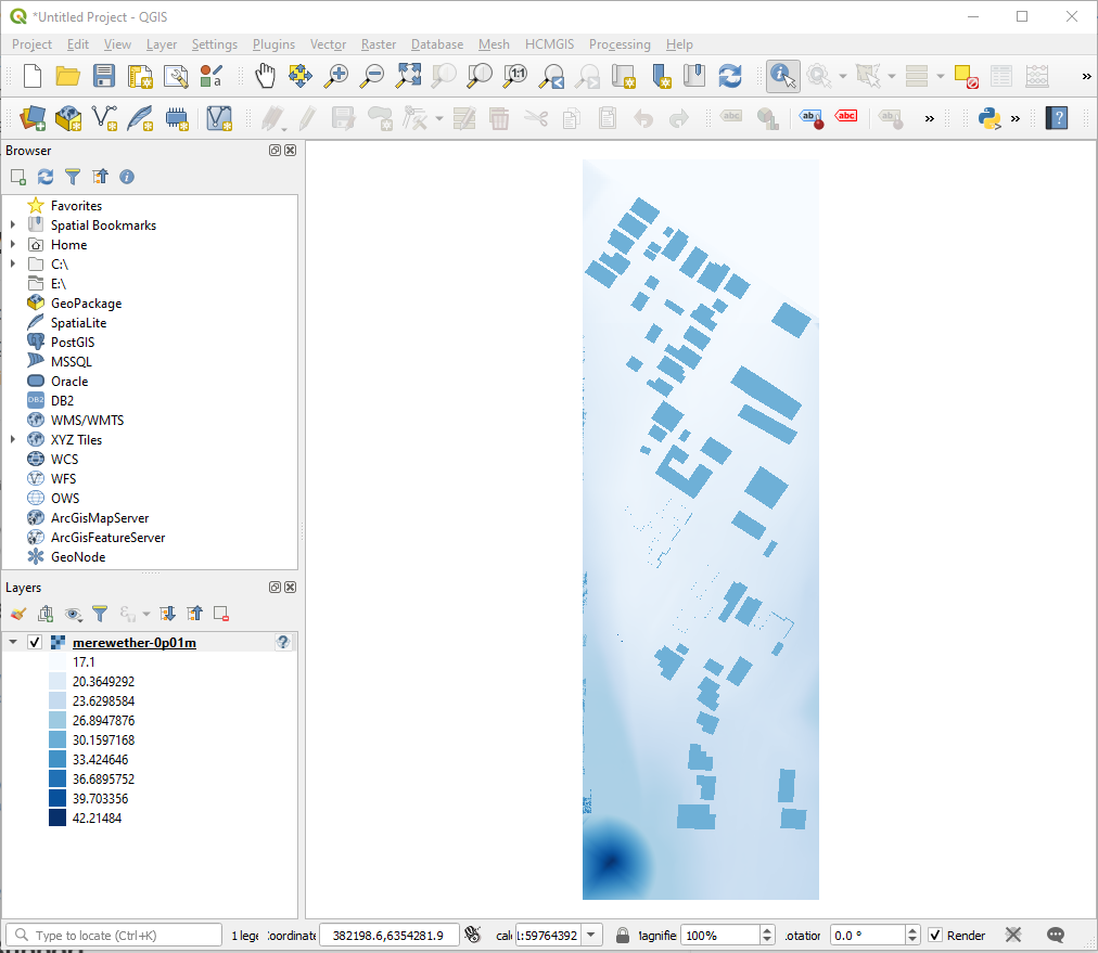
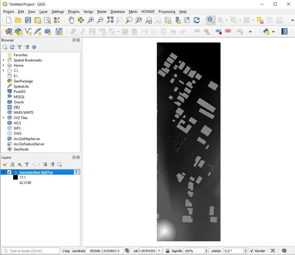
Viewing the DEM data on QGIS
The original DEM data for the Merewether test case is available at a resolution of 0.01 m x 0.01 m in an Esri ASCII raster file, named merewether-0p01m.dem. The DEM file can be loaded and viewed in QGIS following these steps:
- Open QGIS
- Go to menu Layer - > Add Layer - > Add Raster Layer… and browse for
merewether-0p1m.dem - Click Add, and the raster map would be shown as below:
- By right-clicking on the layer’s name and selecting Properties - > Symbology , the render type can be changed for a proper representation. Choosing Singleband pseudocolor results in the map below: